Data sources
Rasters.jl uses a number of backends to load raster data. Raster, RasterStack and RasterSeries will detect which backend to use for you, automatically.
GDAL
All files GDAL can access, such as .tiff and .asc files, can be loaded, using ArchGDAL.jl. These are generally best loaded as Raster("filename.tif"), but can be loaded as RasterStack("filename.tif"; layersfrom=Band), taking layers from the Band dimension, which is also the default.
NetCDF
NetCDF .nc and some HDF5 .h5 files cab be loaded using NCDatasets.jl. Layers from files can be loaded as Raster("filename.nc"; name=:layername). Without name the first layer is used. RasterStack("filename.nc") will use all netcdf variables in the file that are not dimensions as layers.
NetCDF layers can have arbitrary dimensions. Known, common dimension names are converted to X, Y Z, and Ti, otherwise Dim{:layername} is used. Layers in the same file may also have different dimensions.
Zarr
Zarr files can be loaded with the ZarrDatasets.jl backend. Raster(filename; source=Zarrsource()) may be needed where the file type cant be detected from the filename. write does not yet work for Zarr but will in future.
GRIB
GRIB files can be loaded with the ZarrDatasets.jl. write is not implemented for GRIB.
GRD
R GRD files can be loaded natively, using Julias MMap - which means they are very fast, but are not compressed. They are always 3 dimensional, and have Y, X and Band dimensions.
using RastersWriting file formats to disk
Files can be written to disk with ArchGDAL.jl and NCDatasets.jl backends using write("filename.ext", raster). See the docs for write.
They can (with some caveats) be written to different formats than they were loaded in as, providing file-type conversion for spatial data. Some metadata may be lost in formats that store little metadata, or where metadata conversion has not been completely implemented.
RasterDataSources.jl integration
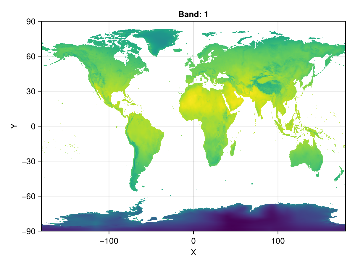
RasterDataSources.jl standardises the download of common raster data sources, with a focus on datasets used in ecology and the environmental sciences. RasterDataSources.jl is tightly integrated into Rasters.jl, so that datsets and keywords can be used directly to download and load data as a Raster, RasterStack, or RasterSeries.
using Rasters, CairoMakie, Dates
using RasterDataSources
A = Raster(WorldClim{Climate}, :tavg; month=June)
Makie.plot(A)
See the docs for Raster, RasterStack and RasterSeries, and the docs for RasterDataSources.getraster for syntax to specify various data sources.
